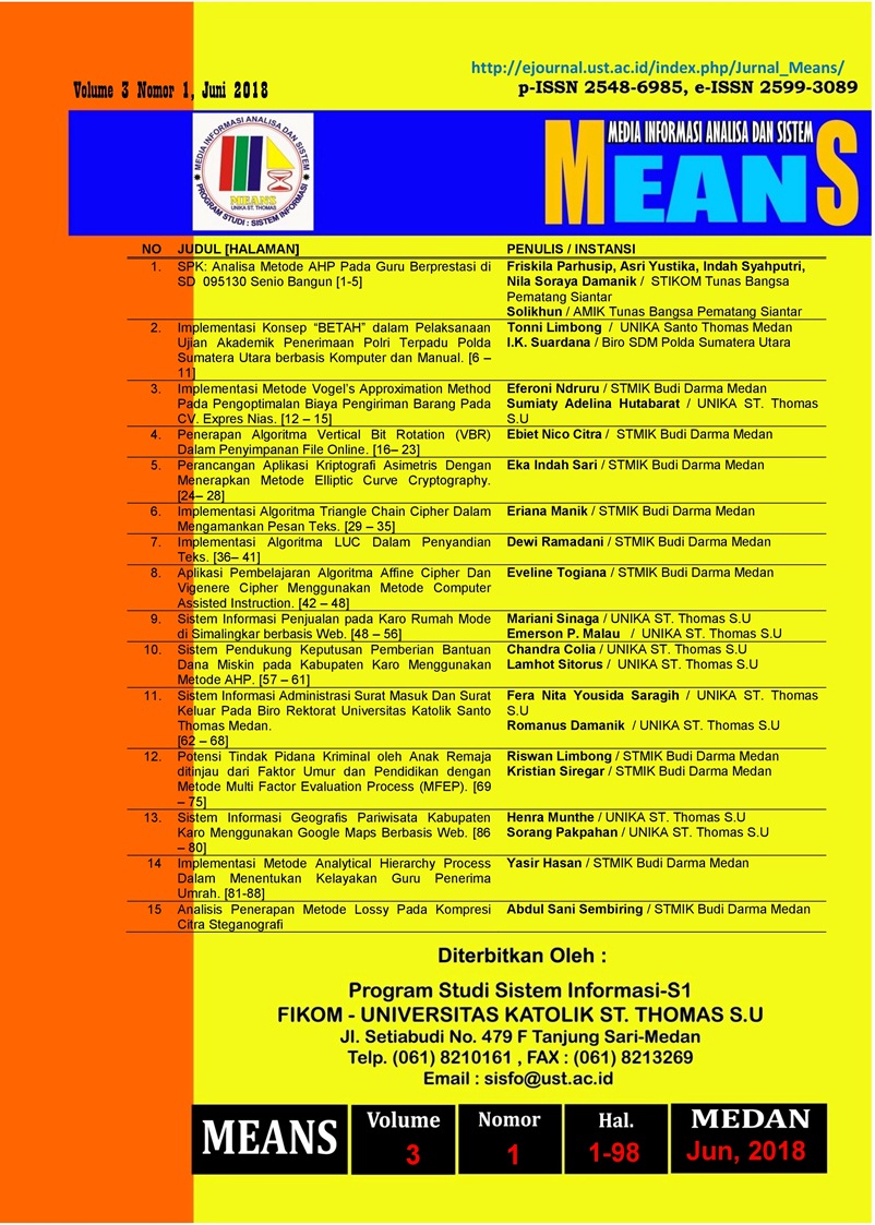
Sistem Informasi Geografis Pariwisata Kabupaten Karo Menggunakan Google Maps Berbasis Web
DOI:
https://doi.org/10.54367/means.v3i1.230Keywords:
Sistem Informasi Geografis, Google Maps, Pariwisata.Abstract
Karo Regency is one of the areas in North Sumatra Province that has the potential to become a tourism area, with the Vision "Realizing Karo Tourism that is advanced, Modern environmentally friendly and highly competitive by maintaining karo cultural values through the broadest participation of the community and business world to increase Regional Original Revenue "The Karo District Government has promoted through mass media such as newspapers, pamphlets, distributing brochures and promoting through blogs. However, this method is not enough to inform tourism extensively towards domestic tourists and foreign tourists. The design and manufacture of Geographic Information Systems (GIS) Tourism is expected to be able to display tourist maps of Karo Regency in the form of a degital map, which can be accessed by tourists. In the Design of Web-Based Karo Tourism Geographic Information System carried out by collecting data, observing and interviewing the Secretary of the Office at the Karo District Tourism and Culture Office and designing tourism maps displayed in this system using Google Maps, the software used in building this application is PHP (Personal Home Page) as a programming language, MySQL as a database server, Macromedia Dreamweaver 8 as the Design Editor. Karo Regency's geographic tourism information system is a system that provides information to tourists about the location of tourist attractions and tourism support facilities in Karo District.References
Budiyanto, Eko. 2016. Sistem Informasi Geografis dengan Quantum GIS. Yogyakarta: Andi Offsite.
Kadir, Abdul. 2009. Membuat Aplikasi Web dengan PHP + Database MySQL. Yogyakarta: Andi Offsite.
Kadir, Abdul. 2014. Pengenalan Sistem Informasi Edisi Revisi. Yogyakarta: Andi Offsite.
Kundyanirum, dkk. 2013. Sistem Informasi Geografis Pariwisata Kota Semarang. Semarang: Universitas Deponegoro.
Kurniawan,Dwi Ely dan Setiaji,Eka Indra. 2016. Pemetaan Jalur Transportasi Bus Umum Kota Batam Menggunakan QuantumGIS dan Geoserver. Batam: Politeknik Negeri Batam.
Lucyana, Resti. 2016. Sistem Informasi Geografis Pariwisata Untuk Pemetaan Pariwisata Kabupaten Pesisir Barat Berbasis Web. Lampung: Universitas Lampung.
Minarni dan Yusdi,Yovi Febri. 2015. Sistem Informasi Geografi Pariwisata Kota Padang menggunakan Application Programming Interface (Api) Google Maps Berbasis Web. Padang: Institut Teknologi Padang.
Nandi, 2008. Pariwisata dan Pengembangan Sumber Daya Manusia. GEA: Pendidikan Geografi.
Utomo,Suprastyo. 2012. Pemanfaatan Mapserver Dalam Aplikasi Sistem Informasi Geografi Kota Bogor di Bidang Wisata dan Kuliner. Depok:Universitas Gunadarma.
Downloads
Published
How to Cite
Issue
Section
License
Copyright (c) 2018 Media Informasi Analisa dan Sistem

This work is licensed under a Creative Commons Attribution 4.0 International License.


